Your flight,
tracked offline.
Position, altitude, speed and a world map — without WiFi, without data, without subscriptions. Built for travelers at 10,000 m.

Everything you need at cruising altitude
Skyty bundles a full vector world map and an offline GPS pipeline into a single iOS app — no servers, no API keys, no surprises in airplane mode.
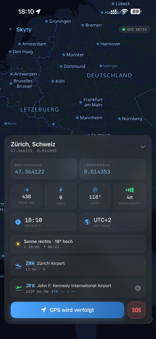
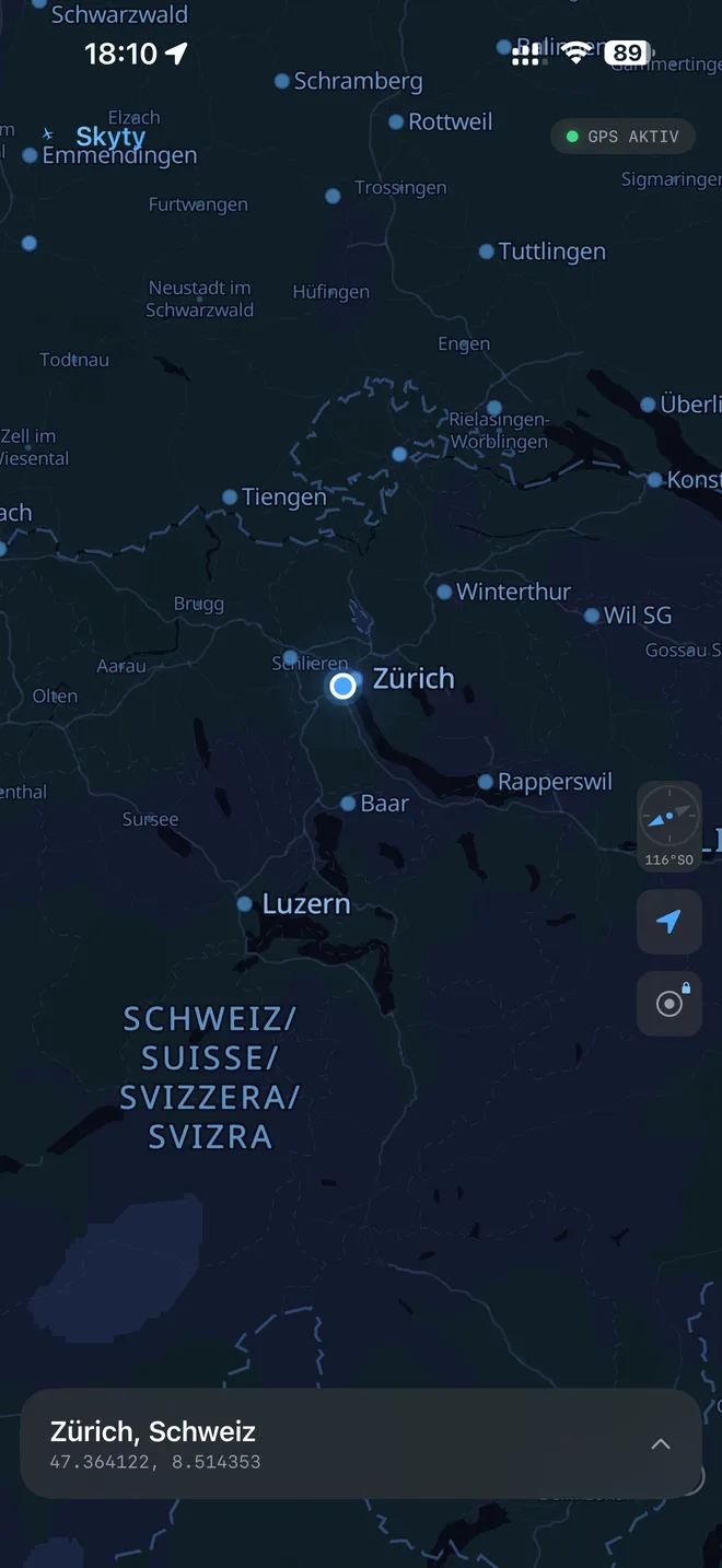
Offline world map
GPU-rendered vector tiles via Protomaps + MapLibre. Four themes: Aviation Dark, Aviation Light, Satellite, Topographic.
Read more →Real-time GPS
Coordinates, altitude, speed, course and accuracy — refreshed live, never leaves the device.
Read more →Altitude above ground
NASA SRTM terrain data computes AGL — switch between MSL and WGS84 ellipsoidal in one tap.
Read more →Flight recording
Auto-detect take-off and landing, draw the route, plot the altitude profile, export GPX.
Read more →Apple Watch & Live Activity
Dynamic Island, Lock Screen banner, Watch complications and a standalone Watch app.
Read more →Landmark Spotter
See what you are flying over — mountains, lakes, volcanoes, islands and major cities, ranked by relevance.
Read more →Ready for your next flight?
One-time purchase. No subscription. Works on every flight, everywhere.
Download Skyty